
HighScore 7.5/10
Mannar Island
Mannar, Northern Province
Overview
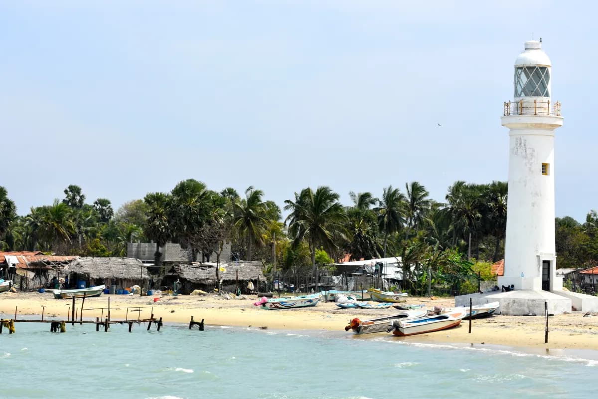
Mannar Island sits in the arid northern dry zone of Sri Lanka, receiving some of the lowest annual rainfall in the country. This results in the highest number of clear night sky hours per year. Looking westward across the Gulf of Mannar and Adam's Bridge, there is zero terrestrial light pollution over the sea for dozens of nautical miles, making it exceptional for observing celestial events low on the western horizon.
Elevation: 2m
9.0500°N, 79.8333°E
Night Sky Conditions
Dark Sky StatusNot Verified
Light PollutionLow — Sparse population, dark western ocean horizon
Sky QualitySQM Estimated Bortle Class 2-3 on western sandspits (Demo data)
Avg Cloud CoverVery low cloud cover, arid climate%
Astro Suitability Indicators
Light Pollution40
Sky Quality50
Photography Potential50
Accessibility50
Elevation Advantage30
Overall Astro Score
7.5/10
Scores are based on sample assessment data. Not verified scientific measurements.
Astrophotography
View all
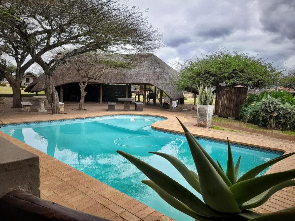
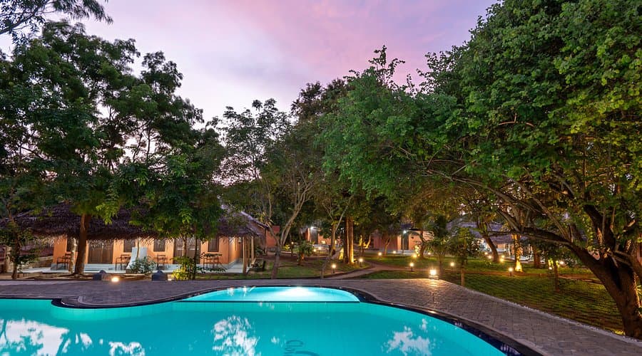
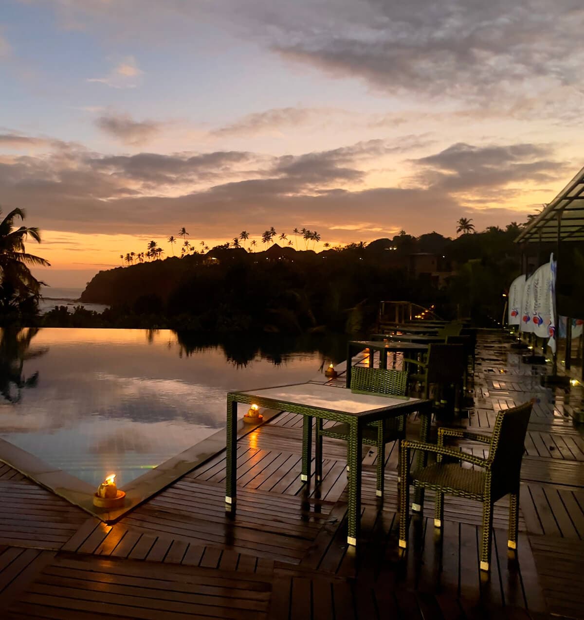
Nearby Accommodation

Best Time to Visit
Recommended Months
April-October
Best Viewing Time
7:00 PM - 5:00 AM
Responsible Tourism
When visiting Mannar Island, please help protect the dark sky environment:
- Use red flashlights only
- Avoid campfires near observation areas
- Pack out all trash